The Future of Infrastructure: How LiDAR Drone Surveys Are Transforming India
India is undergoing rapid infrastructure growth, with massive investments in highways, smart cities, railways, and industrial corridors. In such a fast-paced environment, traditional surveying methods are often too slow, labor-intensive, and prone to human error. This is where LiDAR drone surveying is revolutionizing the industry.
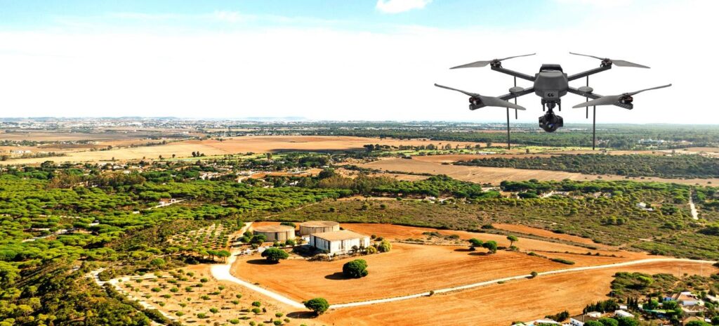
LiDAR (Light Detection and Ranging) technology uses laser pulses from drones to measure distances and generate highly accurate 3D representations of the terrain. Unlike conventional methods, LiDAR surveys can capture millions of data points within minutes, even in dense vegetation or difficult terrains. This makes it ideal for large-scale infrastructure projects in India.
One of the biggest advantages of LiDAR drone surveys is speed. What used to take weeks can now be completed in a matter of days. This not only reduces project timelines but also lowers costs significantly. In a country like India, where delays in infrastructure projects are common, faster data collection can make a huge difference.
Accuracy is another key benefit. LiDAR provides centimeter-level precision, which is crucial for designing roads, bridges, and drainage systems. Engineers can create detailed Digital Elevation Models (DEM) and contour maps that help in better planning and execution.
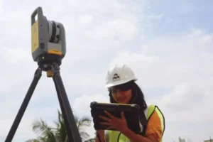
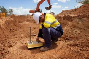
Safety is also greatly improved. Traditional land surveys often require workers to access hazardous or remote areas. With drones, surveys can be conducted remotely, minimizing risks to human life.
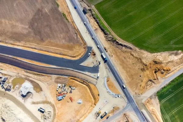
LiDAR is already being used in major Indian projects such as highway development under Bharatmala, railway corridor planning, and smart city initiatives. It helps authorities and engineers make data-driven decisions, reducing errors and improving efficiency.
Another important application is in flood mapping and disaster management. LiDAR data helps in understanding terrain behavior, water flow patterns, and risk zones. This is especially useful in regions prone to floods and landslides.
As India continues to modernize its infrastructure, the adoption of advanced technologies like LiDAR will only increase. Companies that embrace this innovation will have a competitive edge in delivering faster, safer, and more accurate projects.
In conclusion, LiDAR drone surveys are not just a technological upgrade—they are a necessity for modern infrastructure development. By improving speed, accuracy, and safety, LiDAR is shaping the future of engineering in India.